**Update. We recently added the video, “Driving The Apache Trail” to this post. So take a ride with us over 40 miles from Goldfield Ghost Town all the way to the Roosevelt Dam
The Route
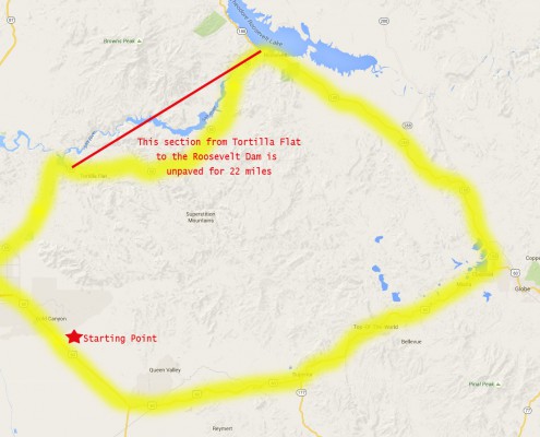
The Apache Trail was originally a stagecoach trail that ran through the Superstition Mountains. It winds through 40 miles of mountains and reservoir lakes. The road is paved until just past Tortilla Flat. From there it is unpaved all the way to the Roosevelt Dam.
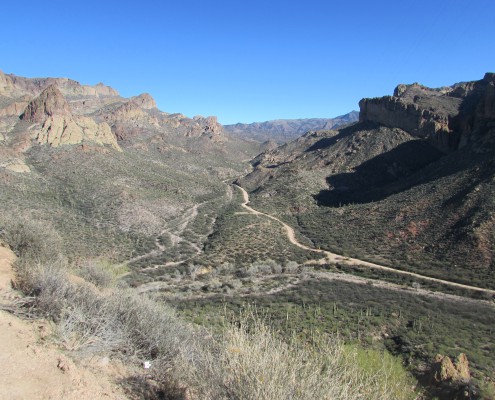
The road can be quite rough at times, narrow, blind curves, switchbacks, steep cliff drops and very little in the way of guard rails. It is very doable in a standard car, just keep both hands on the wheel and go slow!!! The photo to the right is a map of the route we took. We left around 10:00 in the morning and made it back by 4:00 PM.
Goldfield Ghost Town
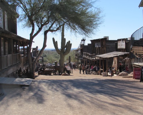
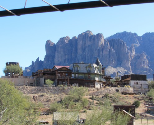
Our first stop along the way was Goldfield Ghost Town. Goldfield was established in 1893. Goldfield once had 3 saloons, stores and shops, a brewery, blacksmith and of course a bordello. However, when the gold ran out the town died out. Now it’s more of a typical tourist trap, but we enjoyed a ride on the train and just strolling around. They have mine tours, trail tours by Jeep and horseback, a museum, shooting gallery, zipline and you can even pan for gold.
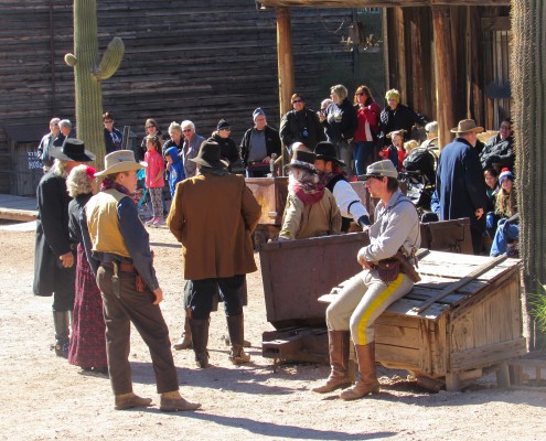
On the weekends starting at high noon you can witness a good old fashioned gun fight. All the characters participate on a volunteer basis. For 1.00 you can even ask for a hanging or be thrown in jail.
Canyon Lake
Canyon Lake is formed by the Mormon Flat Dam which was completed in 1925. It has a surface area of 950 acres and averages 130 feet deep. It’s a popular area and getting here is pretty easy as it’s off the paved part of the Apache Trail. There are marina’s, camping, restaurants and boat rentals available.
Shortly after hitting Canyon Lake you will hit the town of Tortilla Flat, population 6. It’s also another tourist trap and since we had already been here several years ago we kept on going. However, if you don’t want to take the 22 miles of unpaved road the rest of the way to Roosevelt Dam this is the time to turn around!!
Apache Lake
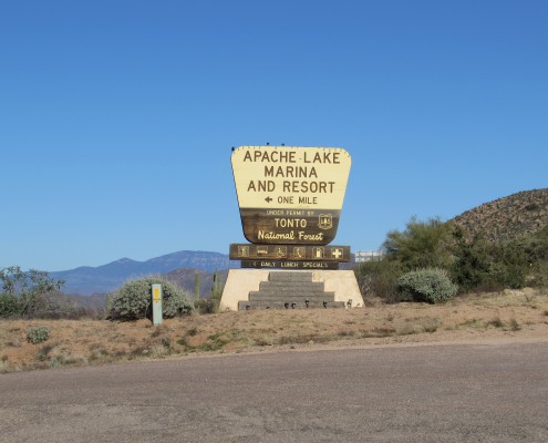
The next photo op along our scenic drive was Apache Lake. This area too has a marina, resort, and camping. However, we both agreed there’s no way we would ever drive our motorhome out here to get to the camping facilities!!
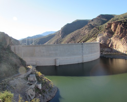
The lake is formed by the Horse Mesa Dam which was built in 1927 and has an average depth of 240 feet.
Theodore Roosevelt Dam
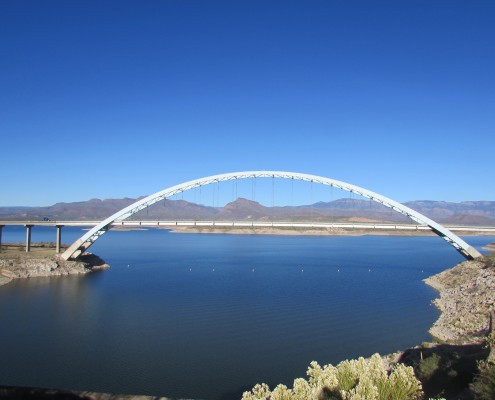
The Theodore Roosevelt Dam is 357 feet high and forms the Theodore Roosevelt Lake. It was originally built in 1905 and 1911. From 1989-1996 it was renovated and expanded. It’s main purpose is for irrigation water supply, flood control and has hydroelectric able to generate 36 megawatts.
It’s quite a drive to get here taking the Apache Trail, but well worth the trip. We took our time, packed a little picnic lunch and thoroughly enjoyed all the scenery along the way. Our poor little car survived yet another adventure! We actually took this drive several years ago with our son and his wife. We both think the water is really down from when we were here last.
After a few more photos we hit the road again, this time taking the highway back. We took Highway 188 south until it met up with Highway 60. Even that section of road is also a nice scenic drive. One of the towns we went through was Miami. I had no idea there was a Miami, Arizona!
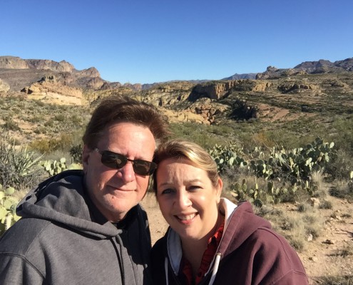
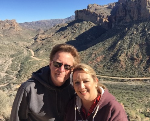
Scenic Overlooks and Selfies
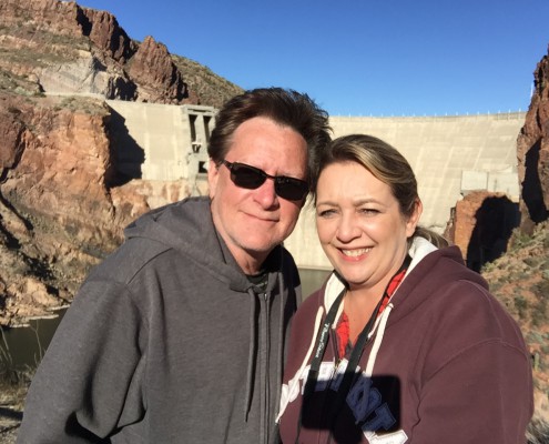
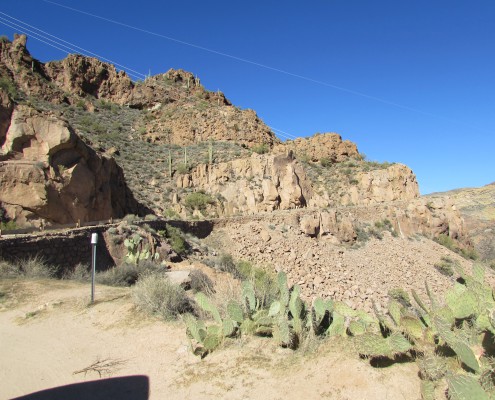
This really was a great way to spend a day and if you are ever in this area we highly recommend driving the Apache Trail (at least once!!). There are so many places to pull over and snap some beautiful pictures or just stand there and take it all in.
To view the full photo gallery of Goldfield Ghost Town and The Apache Trail please click here.
We had our GoPro camera on for most of the drive. We will be working through all the footage and post the video as soon as we have it ready.






Leave a Reply
Want to join the discussion?Feel free to contribute!